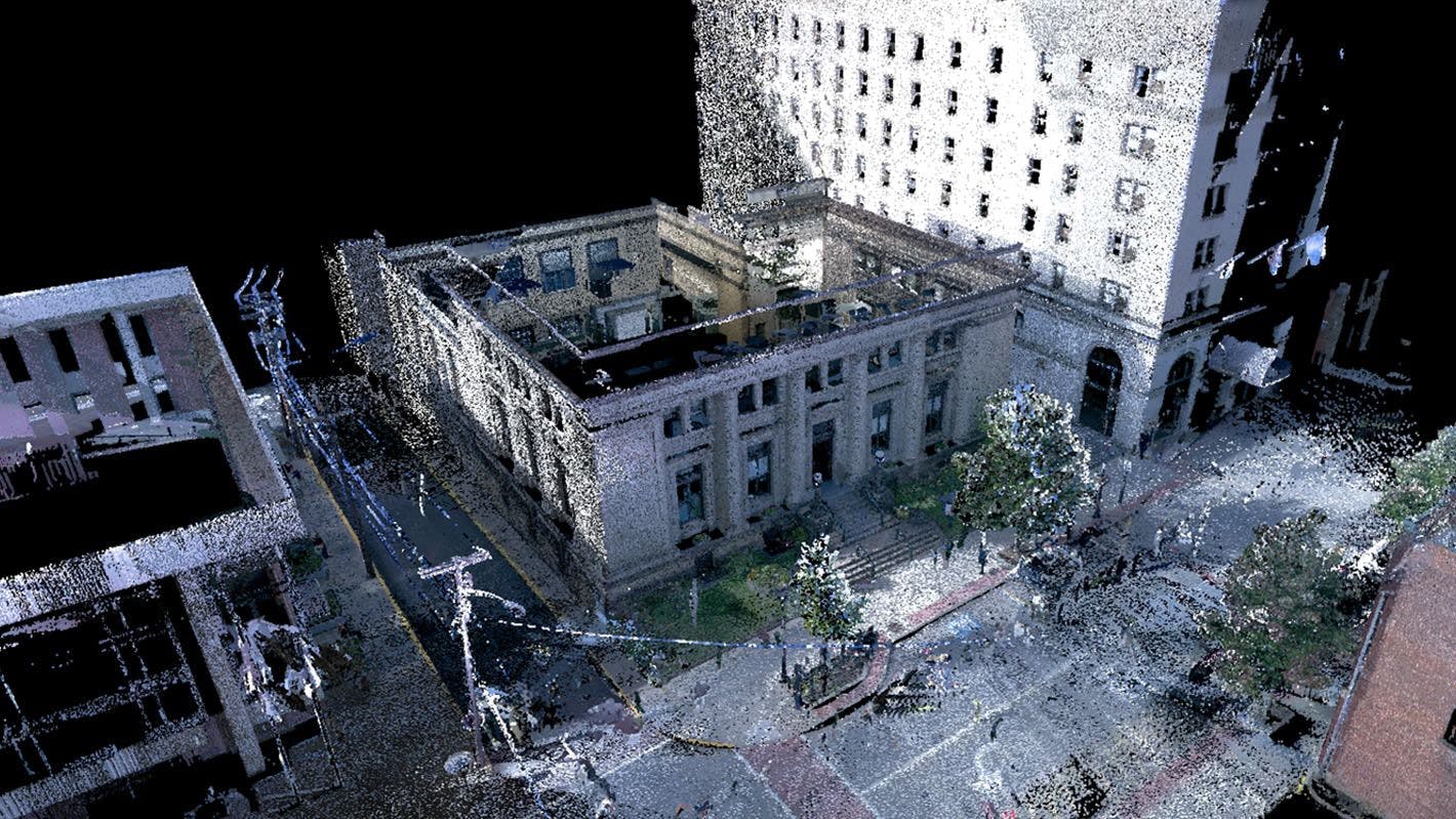
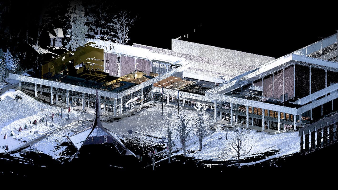
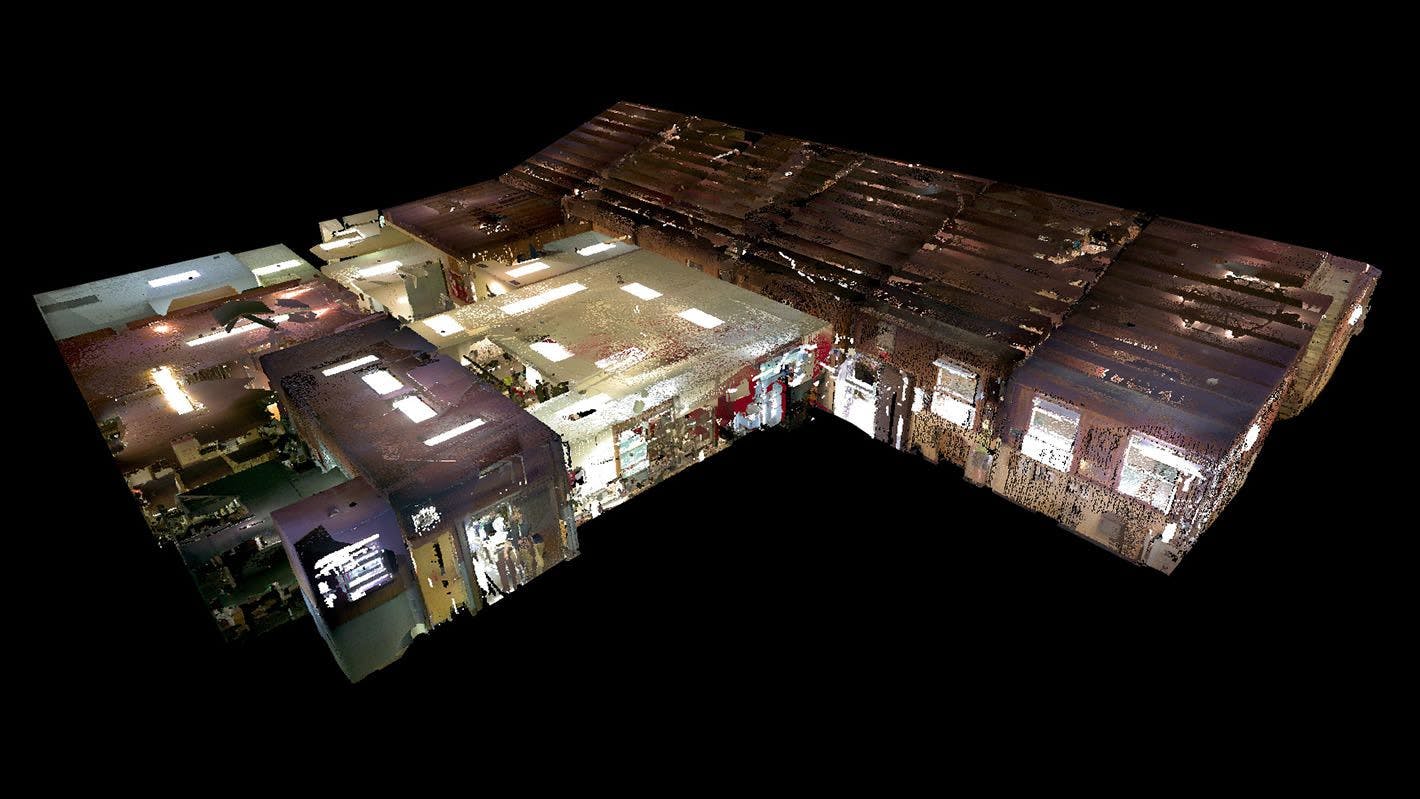
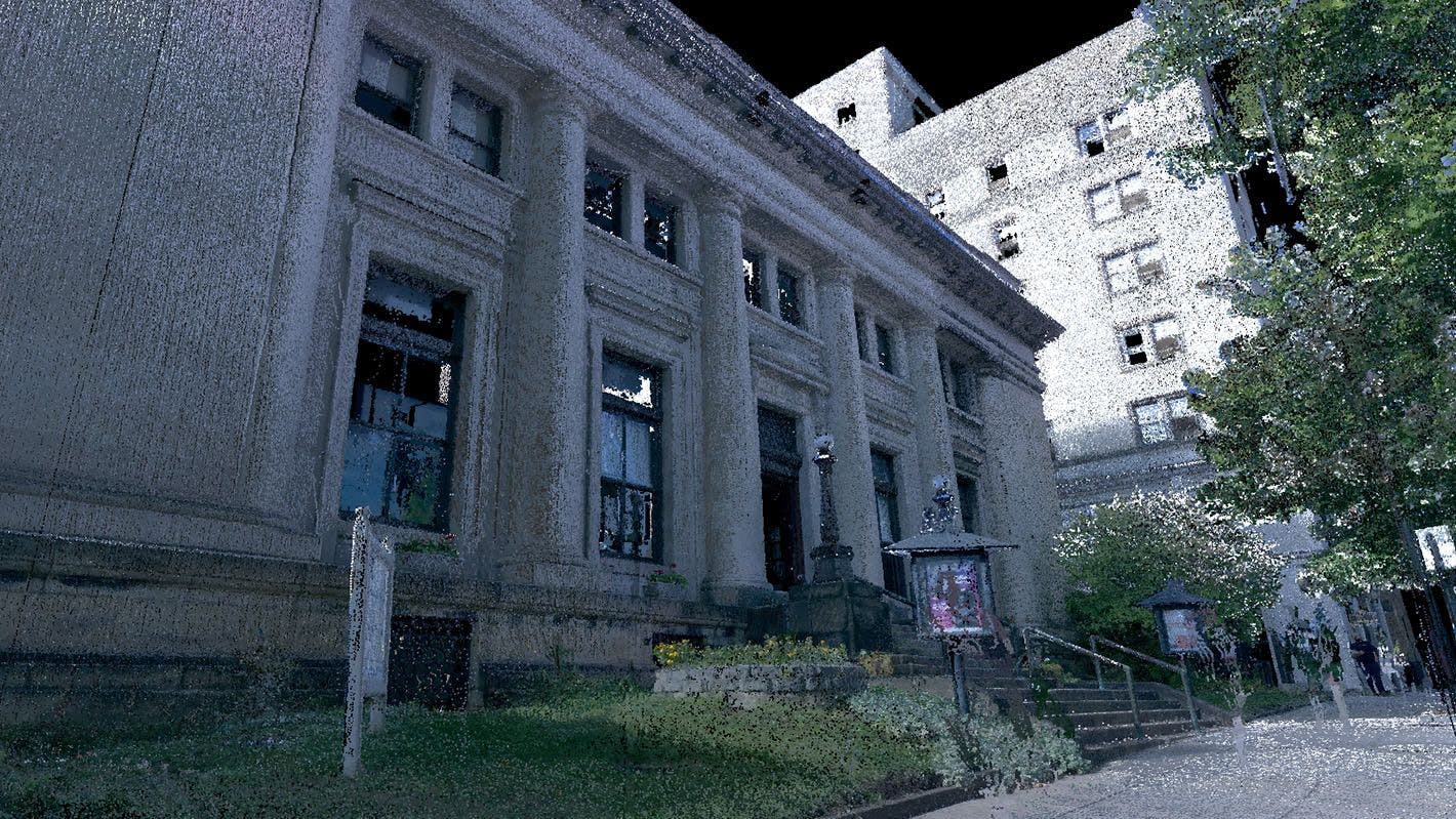
3D Scanning
The integration of point cloud scanning is one of the most important and game-changing additions to our ever-evolving technology toolkit. This scanning process works by sending out and then collecting and analyzing a large set of data points within a given coordinate system, also known as a ”point cloud.” These data points gather details on the location being scanned that pertain to distance, size, shape, and color and then return that information back to the scanner. After canvasing an entire location of interior and/or exterior spaces, the scanner then registers a highly accurate composite point cloud model which is used by our architects to verify existing structures as well as create trustworthy models for new designs.
In addition to the incredible sub-centimeter accuracy of the scanning data, it also gathers 360° HD imagery that can be used to give our clients fully-immersive walkthroughs of their space. These images can also be integrated into our Virtual Reality interface for an even greater effect.
Further benefits to leveraging this technology include measuring and analyzing unreachable areas, utilizing the thermal camera to understand heat transmission or reveal insulation vulnerabilities, and to present our designs in visually rich and dynamic ways.

Tools
Mills Group’s technology pipeline utilizes some of the most cutting-edge devices and software on the market today. From the project kick-off to the finished product, our services add unmatched speed, accuracy, and hyper-realism.